Hike and draw
While living and working in Cleveland, cartographer and illustrator Karla Sanders, BS ’09, MS ’12, spend weekends exploring Cuyahoga Valley National Park with her husband, designer and photographer Andres Quintero. That’s where the idea of “Hike and Draw” was born. The duo now travel the country on a quest to visit all 59 national parks and create maps and posters of those landscapes along the way. An excerpted interview with Sanders about the inspiration behind the artwork follows.
By Mary Reed, BSJ ’90, MA ’93 | May 23, 2017
Share:

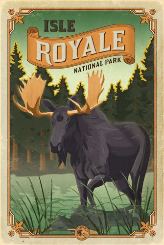
About Isle Royale National ParkYou take a boat for four hours out into Lake Superior to this island. We were there for five days and it rained most of the time. We really wanted to see a moose. We were under the impression there were a lot of moose on this island. We met a lot of people who had seen moose. At the end of the trip—the boat was leaving in three hours—we decided to do one last hike. I was getting nervous because we had to get back to the boat. So Andres left me waiting there on the trail. Wouldn’t you know it, 20 minutes later, he saw a moose! What are the chances?

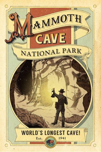
About Mammoth CaveProject number one was Mammoth Cave [National Park] in Mammoth Cave, Kentucky. The figure on the poster in our mind is Stephen Bishop, who was one of the earliest explorers of Mammoth Cave. He was actually a slave. He was freed at the end of his life. He became famous for doing these improvised cave tours. It was people like him who brought Mammoth Cave to national attention. We can thank people like him for the national park, indirectly.

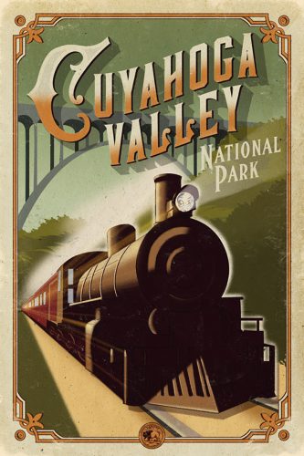
About Cuyahoga Valley National ParkCuyahoga Valley National Park was the place we found our inspiration for the idea of Hike and Draw. It was inspiring to see these diverse families out, all ages and backgrounds. It does a lot for their health, and it does a lot for creating potential future stewards. When you’re in Cuyahoga Valley, a really neat thing about it is hearing that train. The parks aren’t just about the natural world, they’re about our history.

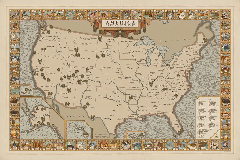
About the National Parks MapThis is my personal favorite. The reason why I like it so much is that we put a lot of illustration into it. Sometimes maps can be a little cold because they don’t give you a sense of what a place looks like. This shows a little glimpse of what the park looks like. You could call it postcards from each park. I feel like overall it’s a warmer, more authentic experience. It’s a unique kind of cartography.


